Surveyor
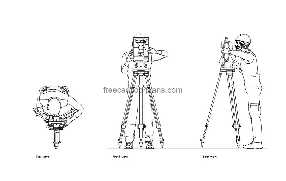

Access our AutoCAD drawing featuring comprehensive plan and elevation views of a surveyor, also known as a land surveyor or cadastral surveyor.
This CAD file offers detailed depictions of surveying equipment such as theodolites, total stations, and tripods, aiding architects, engineers, and land developers in accurately planning and designing land parcels.
Download now for precise integration of surveying elements into your projects.
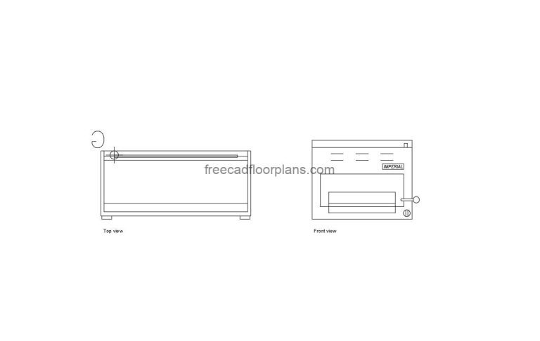
Salamander AutoCAD Block AutoCAD DWG format drawing of a Salamander, plan and elevation 2D views…
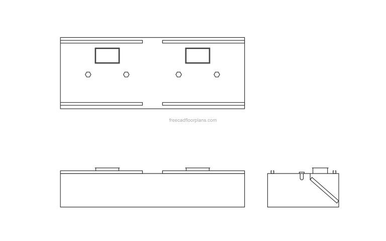
Exhaust Kitchen Hood-Free AutoCAD Block This highly detailed and meticulously crafted drawing includes not only…

Silhouette People AutoCAD Block This complimentary AutoCAD drawing provides comprehensive plan views of versatile and…
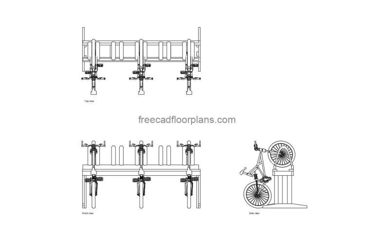
Semi Vertical Bike Rack AutoCAD Block Download a comprehensive AutoCAD drawing featuring detailed plan and…
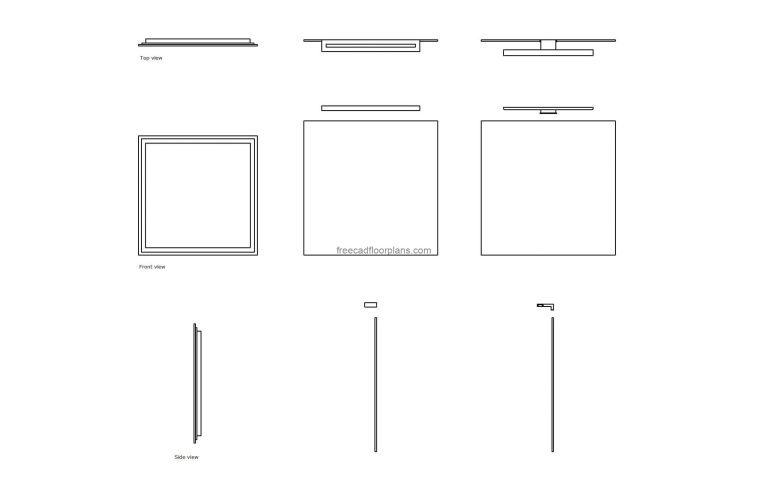
Mirror Light AutoCAD Block AutoCAD DWG format drawing of different mirror lights, 2D top, front,…
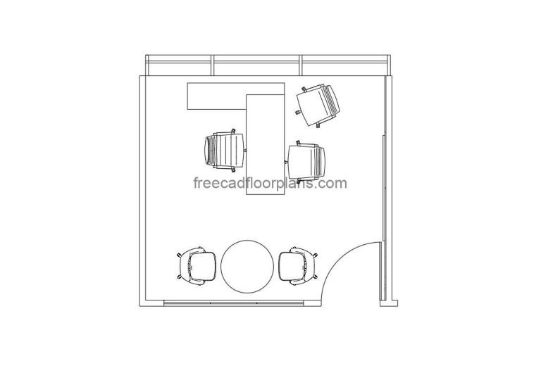
Executive Office Room AutoCAD Block This AutoCAD DWG file provides comprehensive 2D drawings of an…
